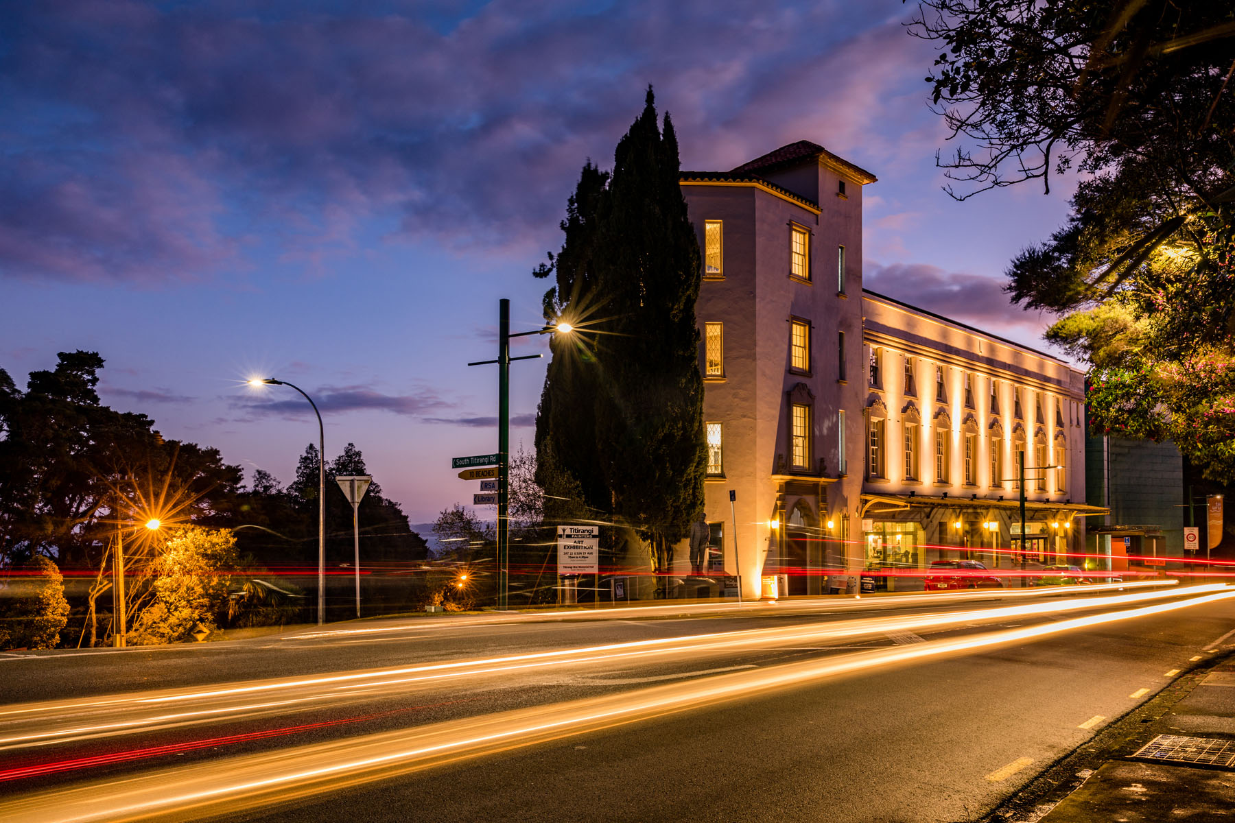
Titirangi
Titirangi is a suburb of West Auckland in the Waitākere Ranges local board area of the city of Auckland in northern New Zealand. It is an affluent, residential suburb located 13 km (8.1 mi) to the southwest of the Auckland city centre, at the southern end of the Waitākere Ranges. In the Māori language "Titirangi" means "hill reaching up to the sky".
Titirangi is bordered to the south by Manukau Harbour, to the west and north west by the rest of the Waitākere Ranges' native bush clad hills consisting of the large Centennial Memorial Park and water catchment areas which supply much of Auckland's water. The main road into the Waitākeres, Scenic Drive, begins in Titirangi. To the east and north are a number of more urban suburbs.
The Waitākere Ranges lie on the west coast of the North Island in the path of the prevailing winds from the Tasman and consequently attract a high rainfall. The native bush is home to many native birds, such as the fantail, tūī, kererū or "wood pigeon", morepork and white-eye, and geckos and rare native frogs. The landscape of Titirangi ranges from Titirangi Beach on the Manukau Harbour to 400 metre high parts of the Waitākere Ranges.
Mt Atkinson is in the foothills of Titirangi, not far from the village centre. In the early 20th century, this was known as Bishop's Hill. There is a short scenic walk, with expansive views of Titirangi Village and the Manukau and Waitemata harbours. There is also 'Zig Zag Track' walk, which winds its way through native bush from the village centre to Titirangi Beach. Exhibition Drive, a well-formed track very popular with walkers, joggers and cyclists, is located 1.5 km from the village centre.


