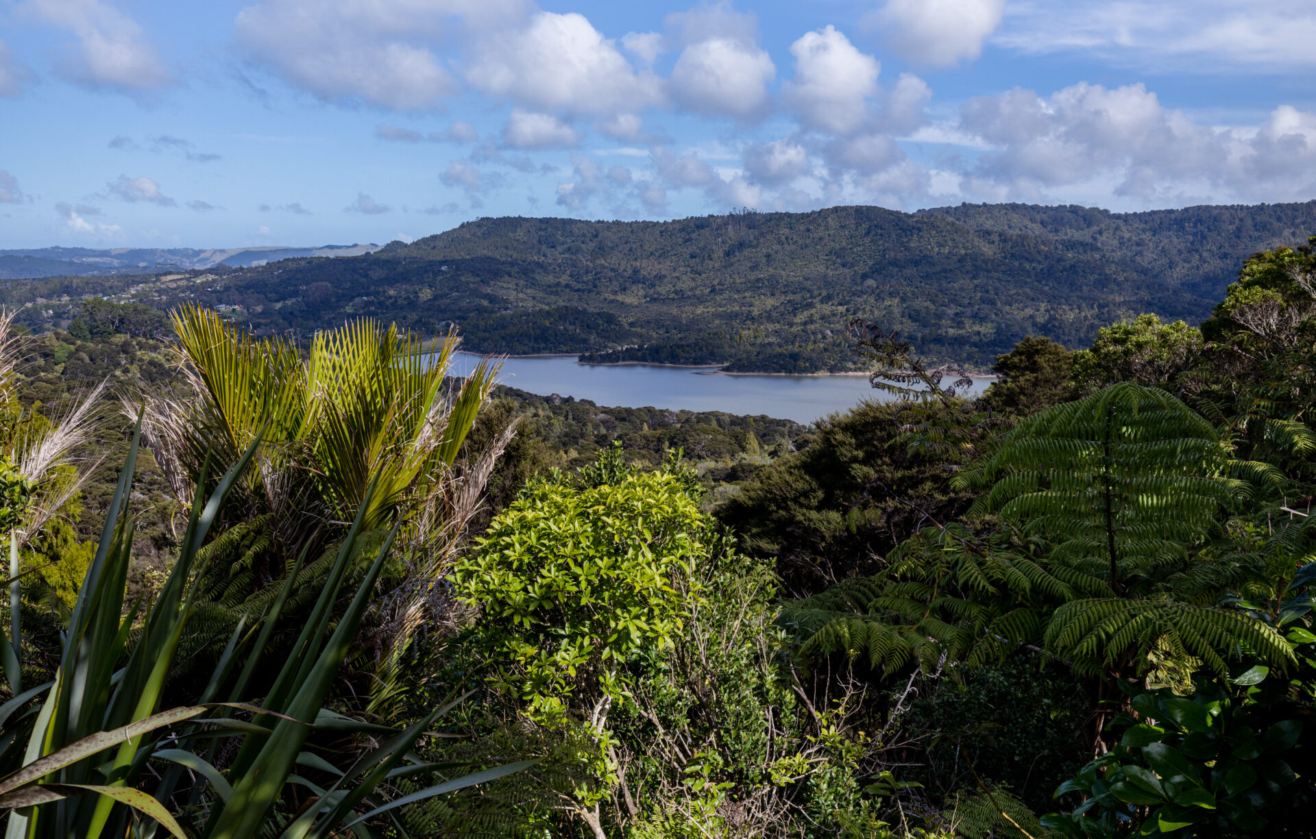
Waiatarua is a small settlement near the top of the Waitakere Ranges, close to the junction of Scenic Drive, West Coast Road and Piha Road. Surrounded by native bush in the Centennial Memorial Park and the water catchment area, Waiatarua is over 300 metres above sea level and some houses are over 400 metres above sea level (higher than the Auckland Sky Tower).
Waiatarua means “song of two waters”, possibly referring to the ability to see both the wild west coast, and the still, sparkling waters of the Manukau and Waitemata harbours from certain points in the area. The name Waiatarua originally referred to the upper reaches of the Big Muddy Creek and Nihotupu Stream, likely referencing the dual view of both the Waitematā and Manukau Harbours. During early European settlement, the area was interchangeably referred to as Waiatarua or Nihotupu. Waiatarua became the more popular name due to Scenic Drive resident Frederick Judson. Afterwards, the name Waiatarua was applied to a larger area.
Large Kauri trees were milled in Waiatarua at Mander and Bradley’s Mill close to Upper Nihotupu reservoir. At the turn of the century, holidaymakers would travel by coach from Glen Eden to stay at the Waiatarua guest house. The Waiatarua area includes the Upper and Lower Nihotupu water reservoirs. Leading to these reservoirs are scenic walking trails through native forest past waterfalls. These trails connect with the wider network of walking trails within Waitakere Regional Park. Many other tramping tracks are in the area. The nearest centres to Waiatarua are Titirangi village, Swanson, and the Henderson Valley.
