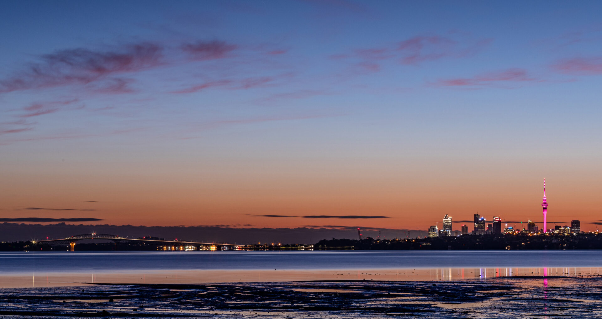
Te Atatu is a residential suburb in Auckland, New Zealand. Te Atatu in Maori means “the dawn”. In 1961 the area of Te Atatu was divided by the North Western motorway, creating Te Atatu South and Te Atatu Peninsula. Its location allows the suburb easy access to the city and Henderson town centre. Its elevation allows views back on to the city and Waitākere Ranges. It has coasts backing on to water on its eastern and western sides with walkways and cycleways on both sides.
The area prior to suburban settlement was used largely for vineyards, poultry farms, fruit trees, apples, lemons orchards and flower farms. Vineyards were located along Te Atatu, McLeod and Edmonton Rd’s. There were brickworks under what is now the Whau River bridge and a timber mill at the end of Roberts Rd.
The name “Te Atatu South” was attributed to the area in 1961 when the area of Te Atatū was divided by the Northwestern Motorway (State Highway 16). With the new motorway, the area rapidly changed in 10 years from rural to suburban. While new homes in Te Atatū Peninsula were dominated by one builder, “Neil Homes”, Te Atatū South had more diversity in new homes and a large quantity of larger quality family homes. These homes reflected Te Atatū South being one of the more affluent areas in West Auckland during the 1970s and 1980s.
Today the suburb has a variety of amenities and several local schools but it’s also redeveloping its roads to accommodate more modern needs to build a more walkable and vibrant community.
